Six Days in the Smokies

The view of Mount LeConte from the Chimney Tops trail, a 3.8 mile round trip that climbs to nearly the same elevation in about half the time.
The Mount LeConte and Alum Cave Trail Hike , 5.5 miles each way, offered views of surrounding mountains shrouded in the mist that gives them their names.
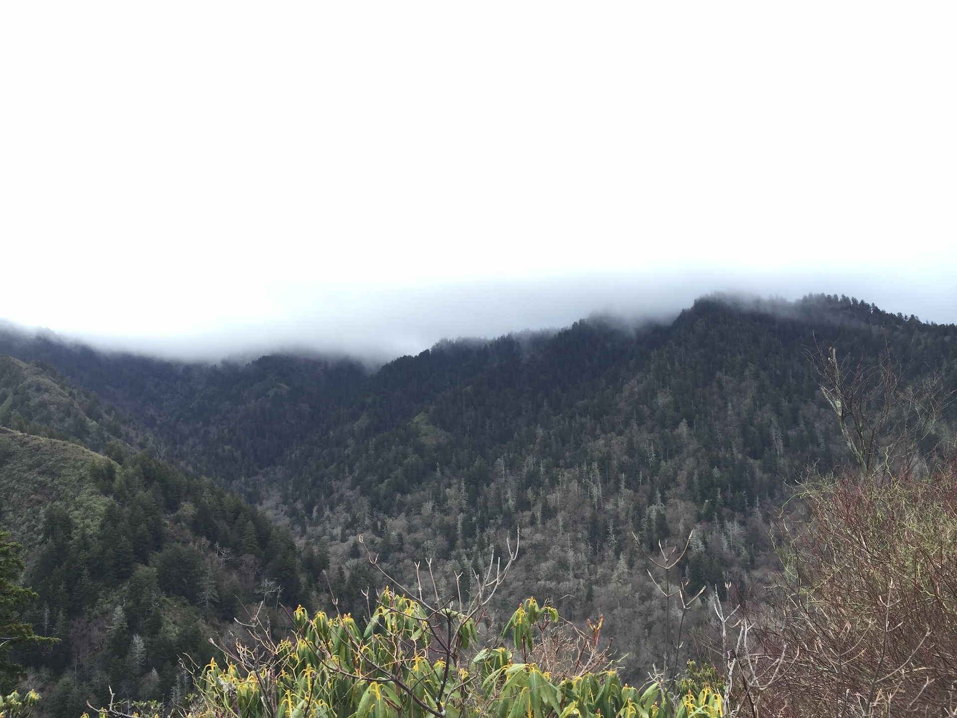
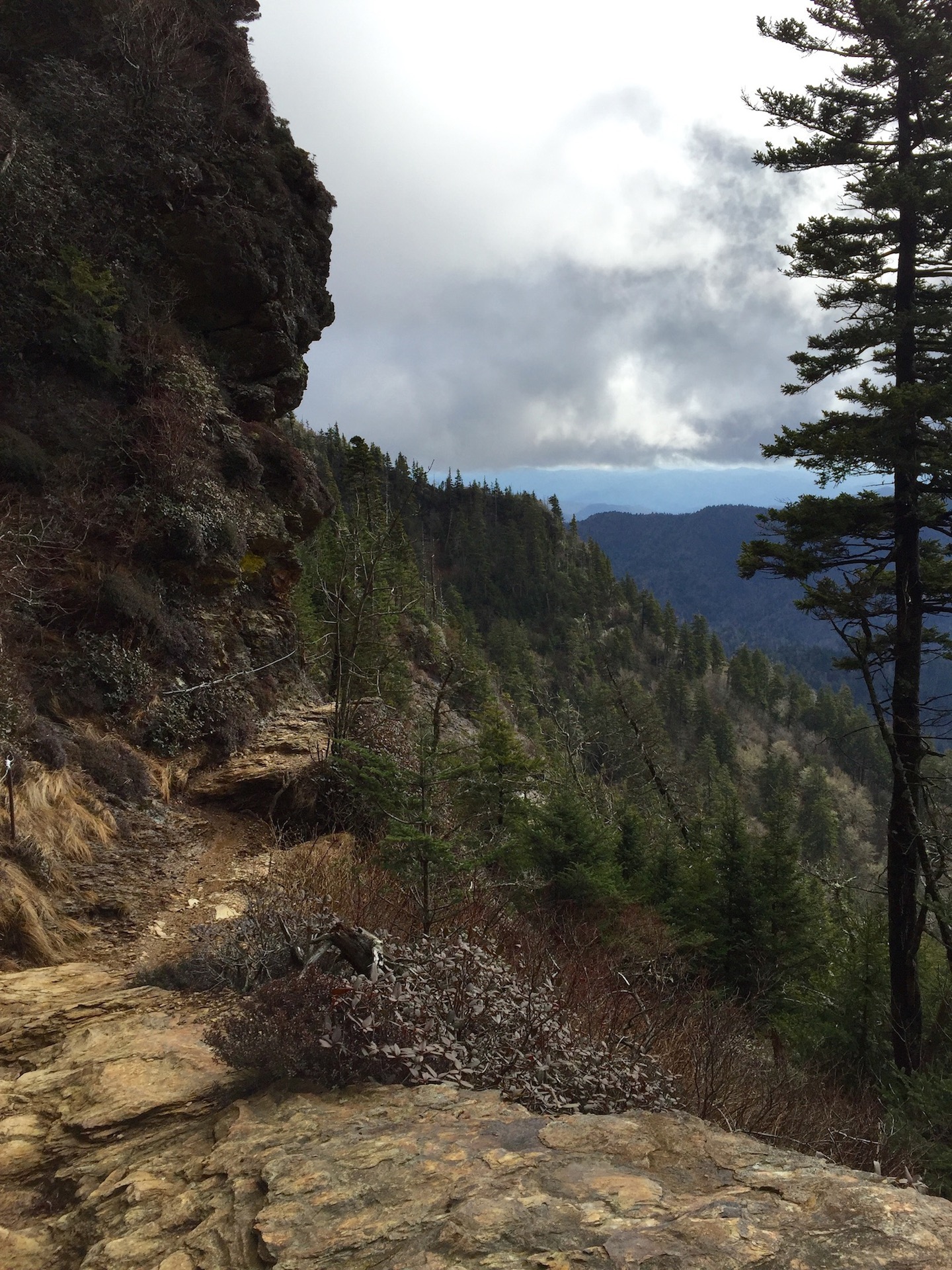
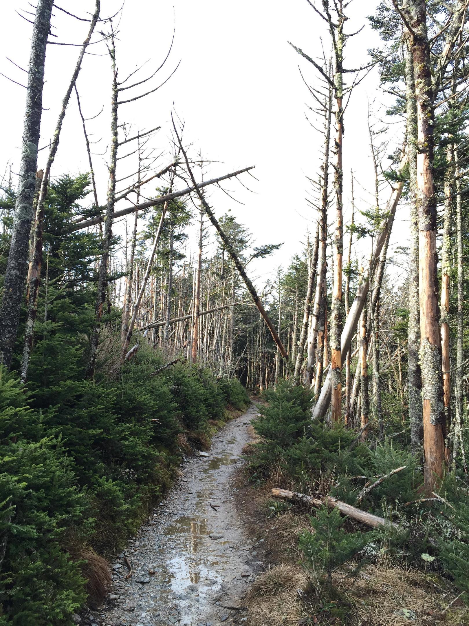
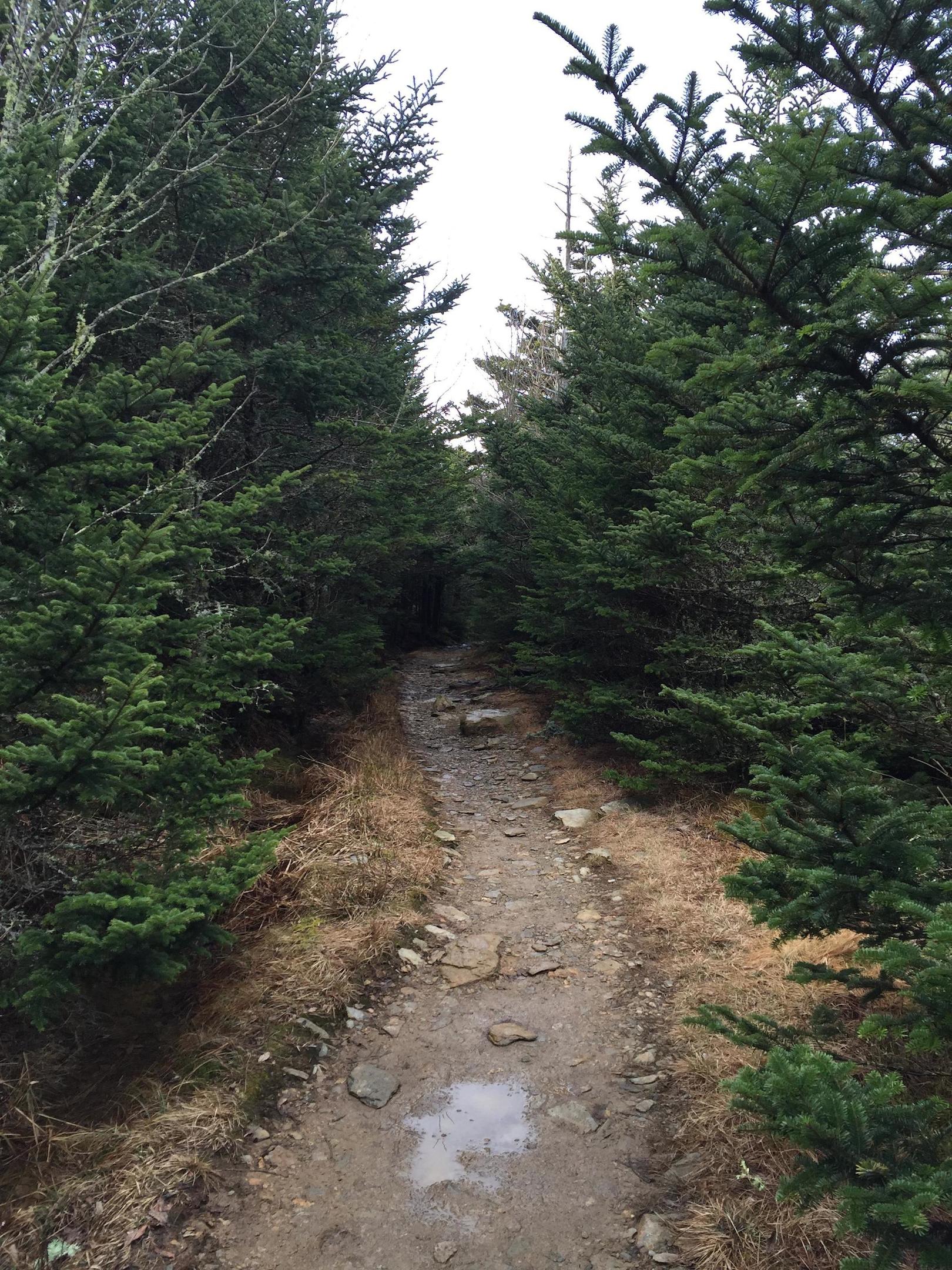
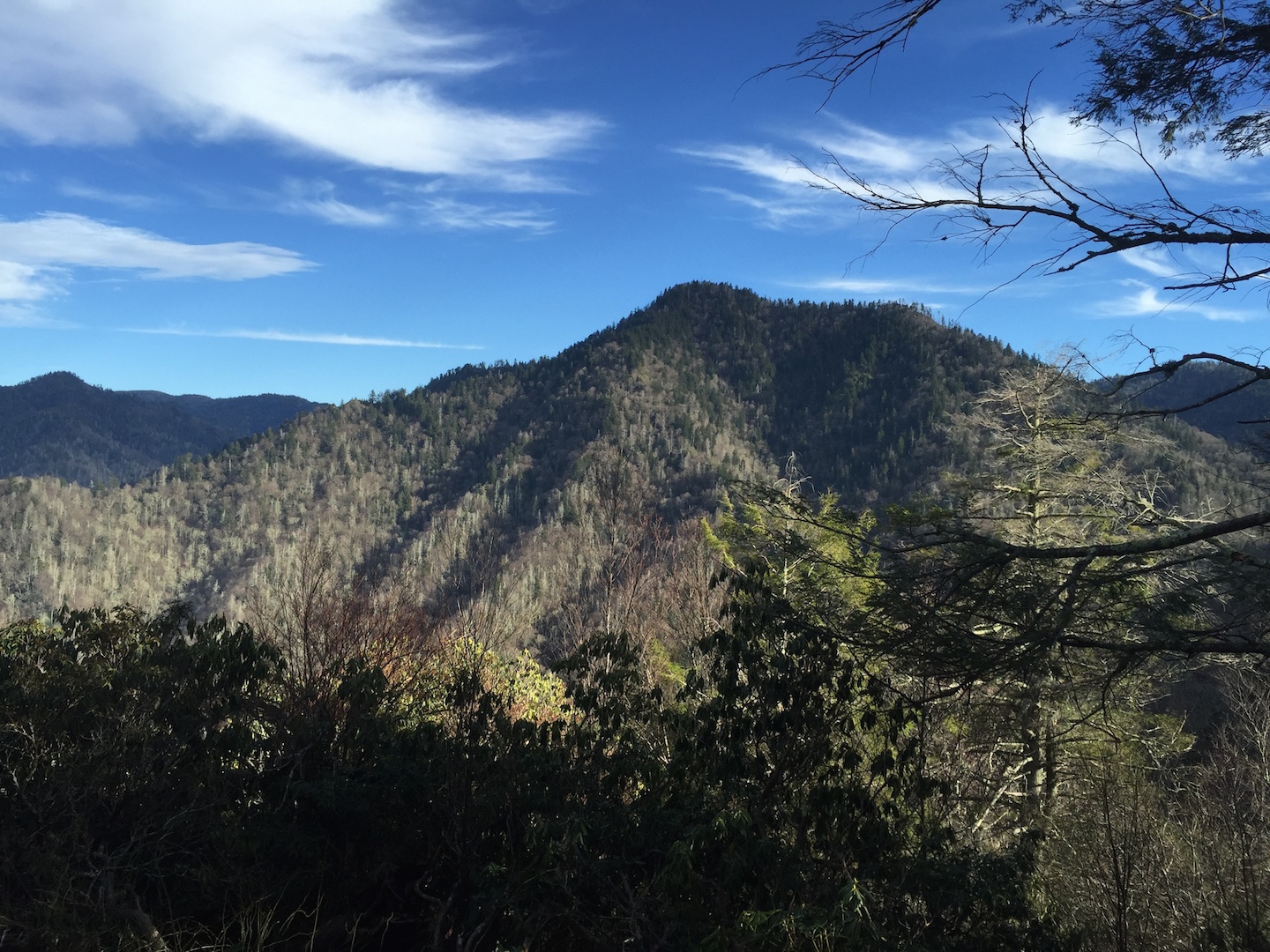
The Mount LeConte and Alum Cave Trail Hike, 5.5 miles each way, offers panoramic views of surrounding mountains shrouded in the mist that gives them their name.
The strenuous Mount LeConte climb involved traversing over narrow rock ledges, grasping wire supports built into the side of the mountain to follow the steep, rocky path around bends.
After climbing an elevation of almost 3,000 feet, hikers emerge onto a level path through a forest of white birch for the final length of the trail.
After climbing an elevation of almost 3,000 feet, hikers emerge onto a level path through a forest of white birch for the last stretch of the trail.
Spruce and fir trees line the last mile to the 6,000 foot summit, the tallest mountain in the Appalachian range. Past this point, Cliff Top rock provides Mount LeConte's best outlooks.
Spruce and fir trees line the final mile pathway to the 6,000 foot summit, the tallest mountain in the Appalachian range. Past this point, a additional 0.4 mile trail to Cliff Top rock provides Mount LeConte’s best outlooks.
The view of Mount LeConte from the Chimney Tops trail, a 3.8 mile round trip that climbs to nearly the same elevation in about half the time.
The peak of the Chimney Top outlook can only be reached by scaling a nearly vertical rock cropping. Free hand rock climbing experience is helpful in making this ascent.
The peak of the Chimney Tops outlook can only be reached by scaling a nearly vertical rock cropping, and is descended along the rocky path shown above. Free hand climbing experience is helpful in making this adventurous ascent.
After making the hands-and-knees climb, hikers are rewarded with unparalleled, high altitude views of the Appalachian mountain range. The road to Gatlinburg, the town at the entrance of the national park, can be glimpsed in the distance.
After making the hands-and-knees climb, hikers are rewarded with unparalleled high altitude views of the Appalachian mountain range. The road to Gatlinburg, the town at the entrance of the national park, can be glimpsed in the distance.